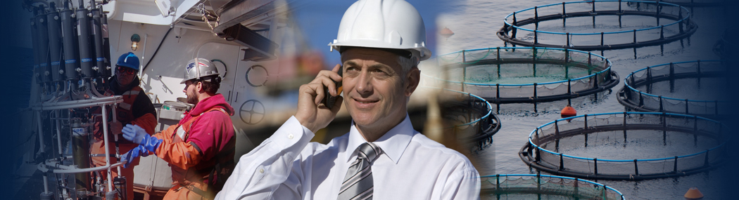


The ocean covers more than 70% of our planet, yet much of it remains unmapped in detail. Traditional marine mapping can be slow, labour-intensive, and costly. Enter GeoAI a modern approach that fuses artificial intelligence with geospatial data to revolutionise how we understand and monitor our seas. With the use of AI, we can now map the seas faster, smarter, and with more insight.
What is GeoAI?
GeoAI, or Geospatial Artificial Intelligence, uses AI methods like machine learning and deep learning to interpret geographic data — from satellite images to sonar scans — faster and more accurately than has been possible before.
In simple terms, it’s AI that can help us see patterns and changes in the ocean, the coastlines, and the seabed that were previously invisible or extremely time-consuming to map.
It’s not however, all plain sailing (pun intentional). There is still a lack of reliable data available in some areas. You get out, what you put in, so if the data isn‘t available or isn’t reliable then this makes it much harder for GeoAI to produce accurate results. The good news is that there are a few groups working on improving this, such as The Open Geospatial Consortium’s Marine Domain Working Group who are pioneering projects such as their Federated Marine Spatial Data Infrastructure (FMSDI) which is part of a broader effort to improve the understanding, adaptation, management, mitigation, and preparation for coastal and marine changes. FMSDI promotes the principles of FAIR (Findable, Accessible, Interoperable, Reusable) data and aims to make Marine Spatial Data Infrastructures more powerful and user-oriented.
Why GeoAI Matters for Marine Mapping
Marine environments are vast, complex, and constantly changing. GeoAI can support marine mapping through:
- Automated extraction and classification of marine features, such as coastlines, seafloor structures, coral reefs, and even ship movements.
- Enabling continuous monitoring and predictive insights — for example, forecasting shoreline changes or detecting illegal fishing activity.
- Combining AI pattern recognition with high-resolution imagery to track distinct marine or coastal boundaries over time.
GeoAI isn’t just helping those mapping the ocean, it’s also helping us to understand it, and act on that understanding more efficiently.
Key Benefits in Practice
What can GeoAI do for real-world marine mapping?
- Coral reef and habitat mapping: Deep learning accelerates ecosystem monitoring by automatically segmenting underwater imagery.
- Fishing activity monitoring: Detects and classifies vessels from satellite images, helping combat illegal, unreported, and unregulated (IUU) fishing.
- High-precision coastline and seafloor mapping: AI-driven image classification is giving hydrographic offices and ocean science institutions detailed insights for planning and environmental monitoring.
- Underwater structure and habitat analysis: Assists biodiversity studies and conservation efforts.
- Vessel traffic monitoring: Real-time tracking and reconstruction of ship movements support port management and marine safety.
Real-World Applications
Organisations like the UK Hydrographic Office, are already using GeoAI to produce highly accurate coastline maps. Marine ecosystem monitoring projects have validated GeoAI for automated coral segmentation, vessel detection, and habitat mapping at scale.
By combining satellite, sonar, and drone data, GeoAI enables change detection over time, providing critical intelligence for climate resilience and conservation strategies.
The Future of Marine Mapping
GeoAI represents a transformative shift in how we map, monitor, and protect our oceans. By streamlining, automating, and scaling up marine mapping, it equips scientists, policymakers, and coastal managers with faster, more accurate, and more actionable insights than ever before.
As our oceans face increasing pressures from climate change and human activity, tools like GeoAI are helping us stay ahead of the curve, ensuring that our decisions are informed by data we can trust.
OceanWise has long been at the forefront of marine mapping, combining trusted data from national hydrographic offices, including the UKHO, with our expertise in data management and governance. We source, enrich, and repurpose authoritative marine datasets for use by modern professionals in GIS, ensuring they remain reliable and fit for purpose. Our marine and coastal maps enhance spatial awareness, support smarter decision-making, and underpin environmental monitoring and planning worldwide. As a leading global provider of marine mapping data, strong governance and data integrity sit at the core of our values and systems. You can view and explore our products at www.oceanwise-mapping.com.
Back to News