• MONITORING
  • MAPPING
    • Home
    • About
      • Marine Environmental Monitoring
      • Our Team
      • News & Projects
      • Newsletters
      • Events
      • Sustainability and the Environment
      • Careers
      • Contact Us
    • Industries
      • Ports and Harbours
      • Bridges and Inland Waterways
      • Offshore Renewables
      • Maritime Pilotage
      • Installations
      • Customer Case Studies
      • Monitoring For the UK Hydrographic Office
      • Projects
    • Monitoring
      • Monitoring System Builder
      • Data Management and Display
      • Port-Log Data Platform
      • Consultancy and Advice
      • Design and Integration
      • Installations
      • Servicing and Maintenance
      • Environmental Conditions
    • Partners
    • Support
      • Resources
      • Support
      • Port-Log FAQs
      • Contact Us
banner
When you need to acquire, manage, use and share marine environmental data

When you need to acquire, manage, use and share marine environmental data

Enjoy the confidence of working with marine data experts

Learn More

When you need to acquire, manage, use and share marine environmental data

When you need to acquire, manage, use and share marine environmental data

Enjoy the confidence of working with marine data experts

Learn More

Ocean Wise News
  • Get in Touch
  • All Newsletters
  • Other News
  • Events
  • Unsubscribe

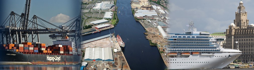
Cross-Port Benefits of Geospatial Technology

Introduction_DMC

In this article OceanWise Managing Director, Mike Osborne explores the advantages of modern Geographic Information Systems (GIS) systems and how their benefits are wide reaching being no longer restricted to just one or two ‘experts’ in a port.

Ports making smarter use of GIS digital platforms to store information about land and assets are benefiting from improved geospatial data management throughout the business, within budgets that don’t break the bank.

Mike comments “The key to successfully implementing GIS is by developing and implementing data governance and a geospatial data management strategy. GIS is software, just like Excel or Word, and is nothing without the policies and procedures that underpin it“…….Click here for the full article published in Port Strategy, June 2019.

See here for our case study on how ABP Ports benefited from GIS

© OceanWise 2026. OceanWise Limited is an independent global company specialising in environmental monitoring solutions, marine mapping data and expert data management services.
Registrar of Companies of England and Wales No. 7206926.

Terms & Conditions | Privacy Notice | Contact Us

OceanWise HelpBot

Still need help?