• MAIN
  • MONITORING
  • MAPPING
    • Home
    • About
      • About Us
      • Our Team
      • News & Projects
      • Newsletters
      • Guides and Insights
      • Events
      • Careers
      • Contact Us
      • Sustainability & Environment
    • Industries
      • Ports & Harbours
      • Bridges & Inland Waterways
      • Energy Providers
      • Maritime Pilotage
      • Installations & Deployments
      • Customer Case Studies
      • Global UK Hydrographic Office Project
      • Projects
    • Monitoring
      • Monitoring System Builder
      • Data Sharing
      • Port-Log Data Platform
      • Consultancy & Advice
      • System Design & Integration
      • Installations & Deployments
      • Servicing & Maintenance
      • Environmental Conditions
    • Partners
    • Support
      • Resources
      • Support
      • Port-Log FAQs
      • Contact Us
" alt="banner">

GIS in Ports series – An Interview with PD Ports

24 March 2026


GIS in Ports series – An Interview with PD Ports

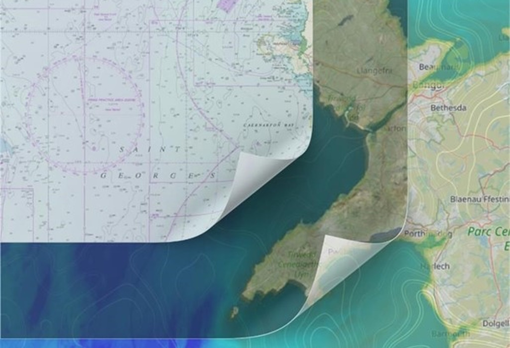
Our Geographic Information Systems (GIS) in Ports series is back! Ports are increasingly expected to manage large volumes of environmental and operational data.

GIS is becoming a key tool for bringing that information together — supporting everything from environmental monitoring to planning and safety.

In this latest interview in our GIS Series we talk to GIS enthusiast and expert Paul Brooks from PD Ports and understand how GIS helps this important Port “track berth depths, optimise maintenance dredging, and redesign channels with environmental sensitivities in mind – it’s a game-changer for smarter port management”

Download 

You can find more details and other interviews on our GIS Series webpage.

View all Guides and insights

Connect With Us

Connect with Us

Services

  • Port-Log Data Platform
  • Data Sharing
  • Consultancy & Advice
  • System Design & Integration
  • Servicing & Maintenance
  • Monitoring System Builder
  • Installations & Deployments
  • Environmental Conditions

Company

  • About Us
  • News & Projects
  • Guides & Insights
  • Events
  • Our Team
  • Careers
  • Licenced Partners
  • Sustainability & Environment

Resources

  • Contact Us
  • Brochures, Datasheets and Guides
  • Monitoring Support
  • Case Studies
  • Mapping Site

© 2026 OceanWise. All rights reserved.

Privacy Policy | Terms of Service | Cookie Policy

© OceanWise 2024. OceanWise Limited is an independent company specialising in marine environmental data acquisition, management, publishing and GIS.
Registrar of Companies of England and Wales No. 7206926 and Companies Registration Office Ireland No. 641571.

Terms & Conditions | Privacy Notice | Contact Us

OceanWise HelpBot

Still need help?