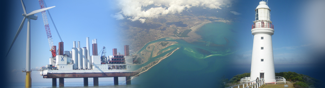
OceanWise News & Views
We are eagerly anticipating the launch of our product extension to Raster Charts XL called Raster Charts XL ‘Oceans’, a global dataset which provides a contextual, authoritative ocean-wide resource ready to be paired with global land mapping of the user’s choice e.g. Open Street Map. The dataset is ideal for use as a familiar global […]
Read more
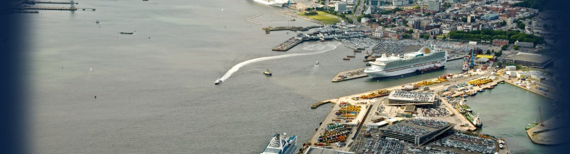
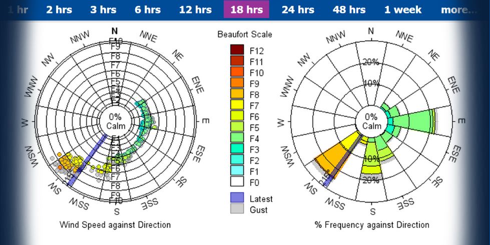
Marico Marine and OceanWise will collaborate on this auspicious project, bringing together both companies’ unique expertise. OceanWise will be designing, integrating and installing a new system to monitor, manage and publish environmental data in the Port of Dover. Robert Proctor, Oceanographer at OceanWise commented: “We will install a new tide station and a range of […]
Read more
At OceanWise we believe that data matters and endeavour to be at the forefront of marine geospatial data developments. We travel the world taking part in important events and conferences which focus on marine data and have been in the Republic of Korea this month (March 2019) participating in some key meetings and discussions. We […]
Read more
OceanWise are running a free training session on “Reliable, smart and secure data transmission” at Ocean Business on Wednesday 10th April at 15:00 in Access Grid Room 124/14. During this session you will learn why you should care about good data transmission, what ‘smart telemetry’ is and how proven technology can provide the solution to […]
Read more
This free event is back by popular demand and will be focusing on “Change – Opportunity or Threat?” Including talks from the British Ports Association, Marine Scotland, Ordnance Survey and EDINA. You can also take part in a free training session on ‘How to Implement Successful Change’ and, if you are part of the Scottish […]
Read more
Harwich Haven Authority (HHA) has chosen OceanWise to supply, install and maintain new tide and weather systems at the 900-year old east coast of England port. British marine instrument specialist, Valeport, has partnered with OceanWise to deliver the environmental monitoring systems and continue its long-standing relationship with HHA. HHA, a trust port, is responsible for […]
Read more
OceanWise’ intelligent marine mapping data is now accessible to students in Further and Higher Education across the British Isles via Digimap™ the online map and data delivery service provided by EDINA, based at the University of Edinburgh. EDINA works with data partners such as Ordnance Survey, British Geological Survey, Centre for Ecology and Hydrology, Getmapping […]
Read more
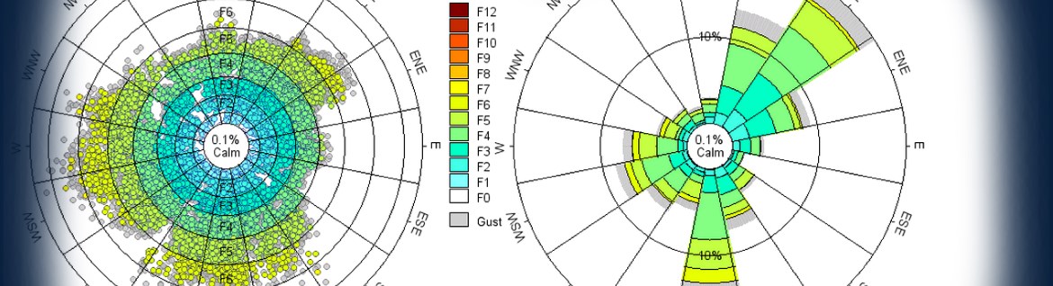
Data is a hugely valuable resource for all organisations and the marine industry is no exception. As the volumes and complexity of the data we create, and store grows, it has never been more important to understand what data you have, how it is used and learn how best to manage it. How should I […]
Read more
Ahead of the UK Harbour Masters Association’s 2018 London Conference, State 21 and OceanWise re-affirmed their continuing partnership. Richard Rowland, Managing Director of State 21 said ‘We are proud to work jointly with OceanWise as we share common values and views on enhancing safety in ports and harbours. Enhancing knowledge and skills has never been […]
Read more
We are very pleased to announce that the OceanWise team has further expanded, as we say a warm welcome to Steve Bourne who joins us this month as an Information Systems Developer. Steve comes to us with over 7 years’ experience in web-based systems development. He spent 4 years working in website maintenance and development […]
Read more