OceanWise News & Views
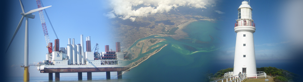
The OceanWise annual Marine Data Management and GIS Workshop took place on the 27th and was bigger and better than ever, attracting delegates from across the marine industry. This free event, which is hosted annually by OceanWise, is provided as a service for OceanWise customers and partners and for anyone with an interest in marine […]
Read more
As connectivity becomes more and more important and the volume and complexity of data increases, businesses are seeking applications and systems that can ‘talk to each other’ to provide integrated solutions. Avoiding ‘data silos’ (a repository of fixed data that is isolated from other applications or departments) and allowing systems to connect can lead to […]
Read more
With three weeks still to go, our free-to-attend Marine Data Management and GIS Workshop is now fully booked. We have seen a great response to this year’s theme ‘What is data and why should we care’? which has resonated with many across the marine industry. Delegates will see a fully packed program of speakers and […]
Read more
Image source http://www.southwalesports.co.uk/ Associated British Ports (ABP) South Wales has chosen OceanWise to supply, install and maintain new tide and weather systems across its five South Wales ports: Cardiff, Port Talbot, Newport, Barry and Swansea. ABP is a leading UK port operator that owns and operates a network of 21 ports across England, Scotland and […]
Read more
The Blue Marine Foundation, a charity dedicated to creating marine reserves and establishing sustainable models of fishing, has embarked on a “Big Data” project which seeks to investigate how data can be used to support safety in inshore waters. OceanWise, who are marine data experts and provide a range of intelligent marine mapping and monitoring […]
Read more
OceanWise is proud to be a full partner of EMODnet Bathymetry and leads the UK input for the Digital Terrain Model, survey data and metadata. On 24 September 2018, an upgraded version of the EMODnet Bathymetry Digital Terrain Model (DTM) for the European Seas was released. This bathymetry product now offers higher resolution, powerful 3D […]
Read more
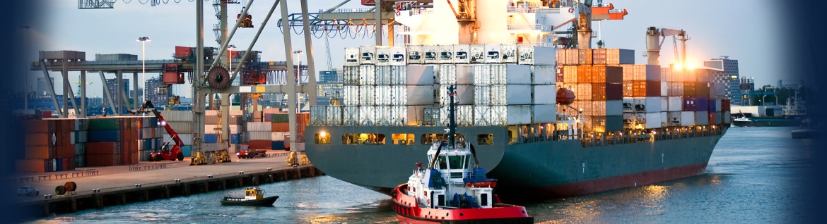
Images above shows example ENC with visible layers (Anchors; Offshore Platforms; Pipelines; Cables; Restrictions; Dangers; Aids to Navigation; Base) OceanWise has successfully delivered its web mapping service to the global shipping and logistics company Elane Inc. Based in China, Elane Inc provides data and software services, including real-time dynamic global vessel tracking, to shipping companies, […]
Read more
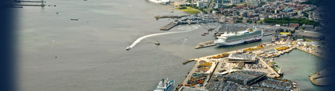
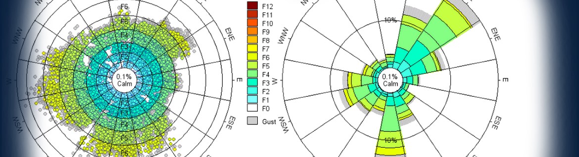
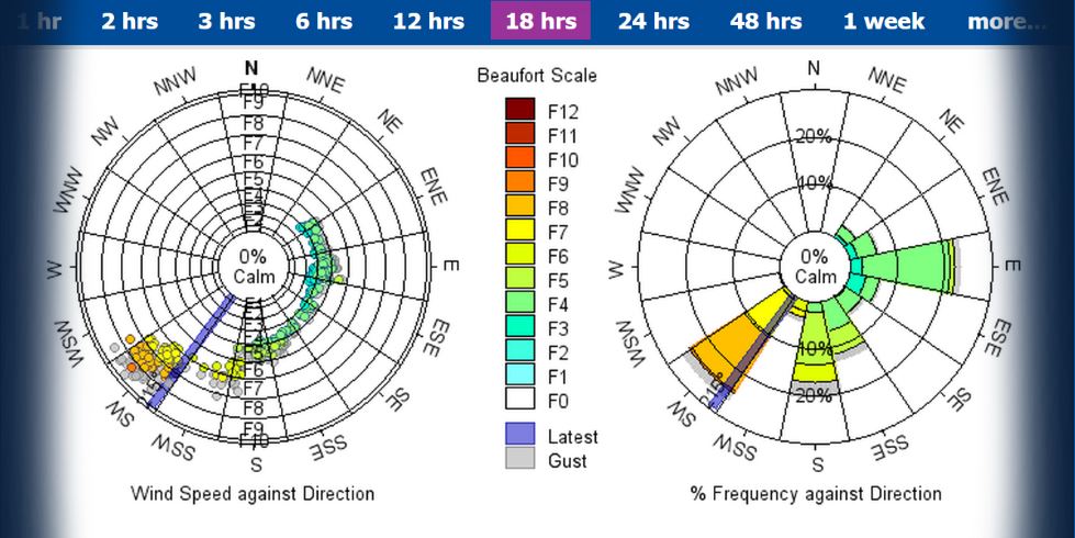
The stormy season is upon us and we are seeing some interesting environmental conditions across the UK. We have been watching the changes during storm “Ali” using our Port-Log system which gives us unique access to environmental sensors all over the UK (and across the world). This week we have been specifically looking at UK […]
Read more
OceanWise are proud to receive the Bronze Award in the Defence Employer Recognition Scheme (ERS). The scheme has been established to encourage employers to develop and maintain an armed forces-friendly environment and we have been successful in achieving a bronze certificate in reflection of our attitude and actions towards members of the military, both current […]
Read more
This free event is back and is bigger and better than ever covering ‘What is data and why should we care’? ‘Why should data be seen as infrastructure?’ ‘Smart Ports – a myth or reality?’. Join industry experts, share your experiences and learn how GIS technologies can successfully deliver savings in time, effort and money. […]
Read more