OceanWise News & Views
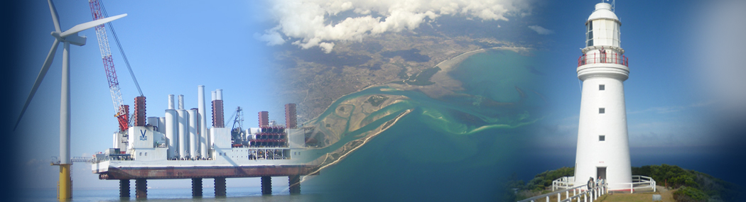
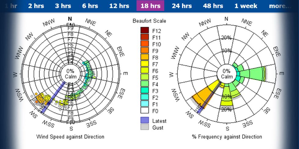
OceanWise’s latest product launch enhances its commitment to continually support the development of environmental data monitoring services in Ports and Harbours. Port-Log* Connect delivers reliable data direct from source to system. It resolves current limitations such as requiring a direct line of site between the tide gauge and survey vessel and the increasingly unreliable, over […]
Read more
OceanWise’s Will Girard, who started with the team in September 2016, has won an award in recognition of his high standards of achievement, outstanding commitment and excellent progression at the recent PETA Apprentice of the Year Awards 2018. Will is pictured below receiving his award from the Lord Mayor of Portsmouth. Will joined OceanWise as […]
Read more
We will be hosting a FREE one-day Ports and Harbours Workshop from 09:30 – 16:30 on 12th June 2018 entitled ‘Data – from Liability to Asset!’ at the Liverpool Marriott Hotel (city centre), L1 1RH. The Workshop is aimed at individuals working within the ports and harbours sector who would like to explore the challenges […]
Read more
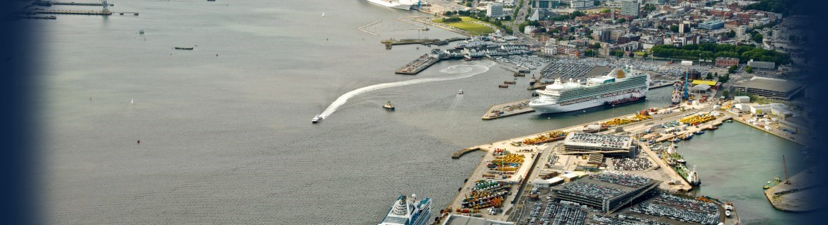
OceanWise will be showcasing the latest developments in its Environmental Data Sharing and Publishing ‘Port-Log’ services, provided to ports, harbours and coastal authorities around the world, at Oceanology International 2018 exhibition on 13-15 March at the Excel Centre, London. Port-Log ‘Connect’ has been developed in association with Associated British Ports (ABP), Peel Ports Group, numerous […]
Read more
OceanWise, in co-operation with IMarEST, will be running a further One-Day Marine Data Management Awareness Course at IMarEST HQ, 1 Birdcage Walk, London, SW1H 9JJ on Tuesday 13th February 2018 from 0930-1630. Data is expensive to collect and needs to be treated as an extremely valuable corporate resource. However, history shows that a majority of […]
Read more
OceanWise was invited to contribute on the subject of ‘Maritime Data Management -Achieving Best Practise’ at the 18th Meso-American and Caribbean Regional Hydrographic Commission (MACHC) Capacity Building Seminar. Entitled ‘Hydrographic Governance and Managing Hydrography in Challenging Environments’, the event was held it the Melia Marina Resort Hotel in Varadero, Cuba on 27-28 November 2017. The […]
Read more
OceanWise hosted its annual Marine Data Management and GIS Workshop in London on 22 November 2017. A gathering of over 60 people were treated to a great programme of talks and demonstrations with the keynote provided by Ed Parsons, Geospatial Technologist at Google. Ed reinforced the role geography plays in our increasingly connected world by […]
Read more
Newly elected IHO Secretary General, Dr Matthias Jonas pledged at Hydro 17 conference in Rotterdam to further encourage data centric operations across the IHO community through effective standardisation. This will widen the appeal and application of hydrographic data and in doing so create an interoperable platform for sharing and re-using the data in new ways.
Read more
As part of our continued growth, we are looking to recruit a Marketing Coordinator to support our promotional and sales activities internationally. The successful candidate will be responsible for implementing OceanWise’s marketing plan and contributing to the plan as they grow into the role. The role includes the following duties: Understanding and maintaining details of […]
Read more
OceanWise has successfully delivered a further Data Management Training course to the IHO Category ‘B’ Hydrographic Survey course on behalf of Skilltrade BV, at ROC Nova College Maritiemin in Ijmuiden, Netherlands. The course provided an introduction to maritime data management ‘best practise’ covering subjects including Data Governance, Data Lifecycle, Data Standards, Metadata, Data Quality and […]
Read more