OceanWise News & Views
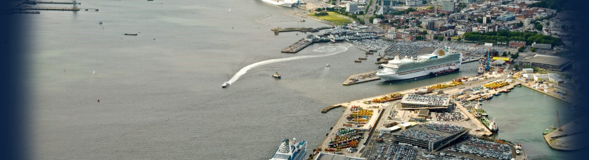
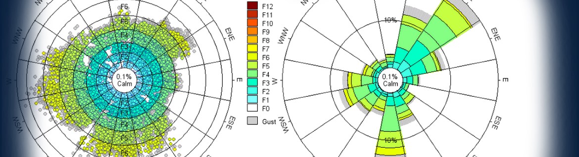
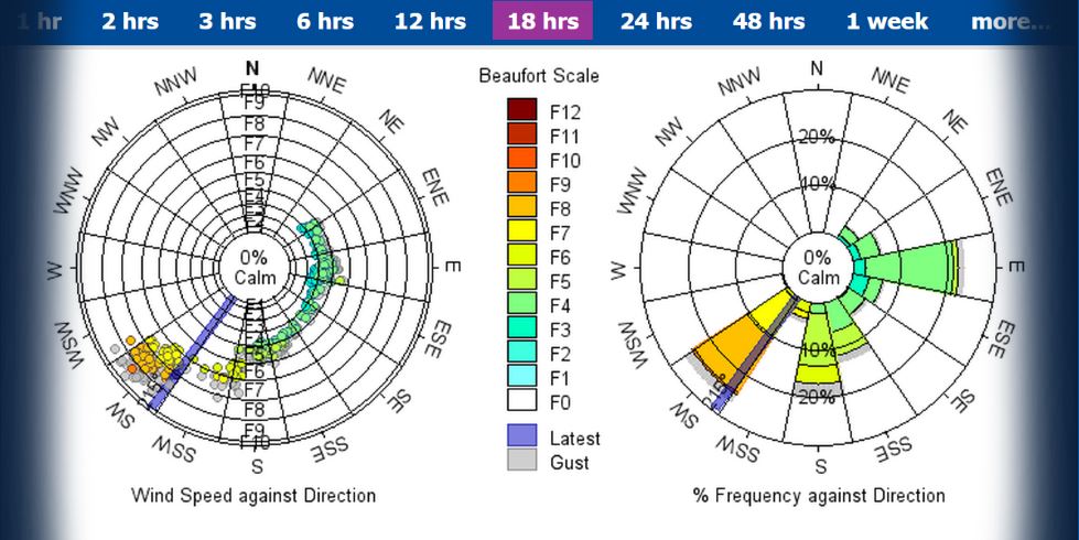
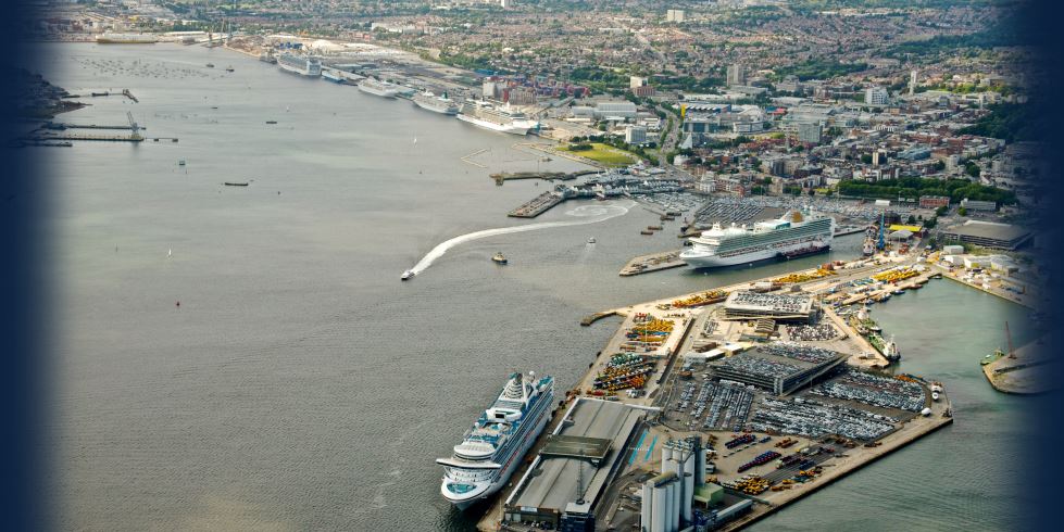
Those of you with a keen eye may have noticed new tabs appearing on OceanWise’s Environmental Data Sharing and Publishing platform, Port-Log.net. We have been working hard to improve the way wave data is processed and displayed. New graphics include directional and non-directional wave spectra, as well as time series and tabular displays of key […]
Read more
OceanWise showcased its Enterprise Geographic Information Systems (GIS) software and productivity tools and Port-Log Environmental Data Sharing and Publishing service at the United Kingdom Harbour Masters’ Autumn Seminar held at the Victory Services Club, in London on 23rd November. The event attracted over 150 delegates comprising Port Managers, Harbour Masters as well as industry partners […]
Read more
The outcome of the concluding panel discussion at OceanWise’ fifth annual Marine Data Management and GIS Workshop, held in London on 22nd November, was that “data management really does matter!” It was felt that organisations need to devote more time and effort to this task to ensure their operations remain efficient and competitive in a […]
Read more
OceanWise, in its role as Expert Contributor to the International Hydrographic Organisation (IHO), is attending the Meso-American & Caribbean Hydrographic Commission (MACHC) in Belem, Brazil from 12th-17th December. The MACHC meets annually to coordinate hydrographic and oceanographic activity at a regional level in areas such as hydrographic capability, chart production; planning and overseeing survey operations; […]
Read more
John Pepper of OceanWise Ltd attended the inaugural Irish Pilotage Seminar, held at the National Maritime College of Ireland near Cork, on 3rd and 4th November. The focus for the event was ‘Pilotage today and into the Future’ and was very well supported by Pilots, Harbour Masters and commercial partners from across Ireland, the UK […]
Read more
OceanWise, the UK’s leading independent marine data management company is pleased to announce the appointment of James Rapaport as a Senior Information Systems Developer. James joins us from Teledyne Caris, based in New Brunswick, Canada, where he has managed the development of Caris’ web server software (Spatial Fusion Enterprise). He previously worked with the OceanWise […]
Read more
We exhibited at the extremely well attended 128th UK Maritime Pilots Association (UKMPA) conference held in West Cowes, Isle of Wight. As exhibitors, we showcased our Enterprise GIS Maritime Toolbar (MTB) productivity software. Delegates expressed particular interest in our ENC Writer Extension software which provides users with the tools to create Bathymetric, Port and other […]
Read more
OceanWise, the UK’s leading independent marine data management, publishing and GIS specialist is hosting its annual, free-to-attend, Marine Data Management and GIS Workshop in London on Tuesday 22nd November 2016 at the School of Economic Science, 11 Mandeville Place, London W1U 3AJ. The event has as its theme “Is poor data management putting your operations […]
Read more
Today is World Hydrography Day, an annual event taking place on the 21st June each year. The event is an opportunity to increase public awareness of the vital role that hydrography plays in everyone’s life. The theme for this year’s World Hydrography Day, which is also the 95th anniversary of the establishment of the International […]
Read more
To meet a growing world-wide demand for its Environmental Data Sharing and Publishing (EDSP) products and services, OceanWise, the UK’s leading independent marine data management, publishing and GIS specialist, is pleased to announce the appointment of several new distributors in SE Asia. Until recently, OceanWise projects in SE Asia have been managed directly from the […]
Read more