OceanWise News & Views
18 months after taking on their first apprentice, OceanWise are now looking to give another young individual the chance to shine in the workplace. The proposed role in Business Administration will give the apprentice the chance to get involved with essential business operations including quoting, assisting with marketing and financial administration whilst working towards a […]
Read more
OceanWise, the UK’s leading independent marine data management, publishing and GIS specialists, hosted its first Marine Data Management and GIS Workshop in Scotland at the Royal Society of Edinburgh on 21st April. The theme for the day was ‘Data Management Best Practice – why managing such a valuable asset will save you time, effort and […]
Read more
OceanWise, the UK’s leading independent marine data management, publishing and GIS specialist, will be hosting its first Marine Data Management and GIS Workshop in Scotland on Thursday 21st April 2016. The event will take place at the Royal Society of Edinburgh, 22-26 George St, Edinburgh and will focus on ‘Data Management Best Practice – managing […]
Read more
OceanWise would like to invite you to our first ever Marine Workshop to be held in Scotland. This free-to-attend event, supported by Marine Scotland, will focus on Data Management Best Practise and why managing such a valuable asset will save you time, effort and money! OceanWise will also demonstrate new tools and techniques and how […]
Read more
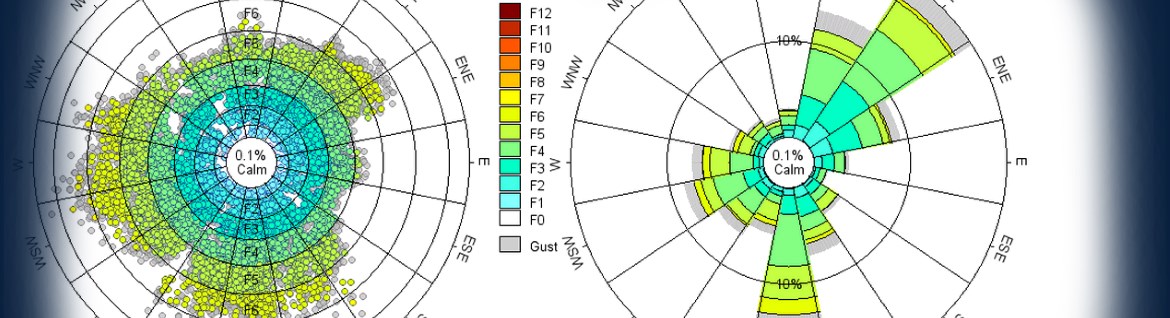
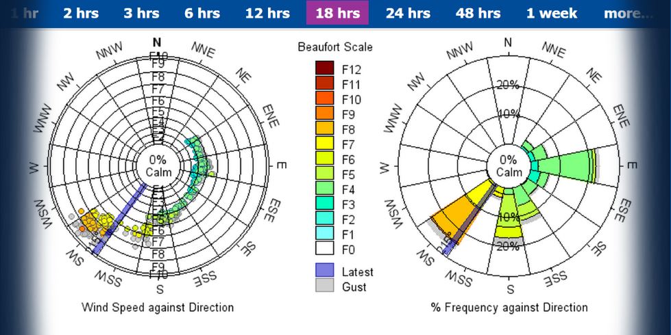
OceanWise has recently added an advanced wave processing algorithm to its online environmental data sharing and publishing system, Port-Log. The algorithm has been developed by a market leading provider of waves processing software to the oil and gas industry. OceanWise’s MD, Dr Mike Osborne, said “It was important for us to implement a system that […]
Read more
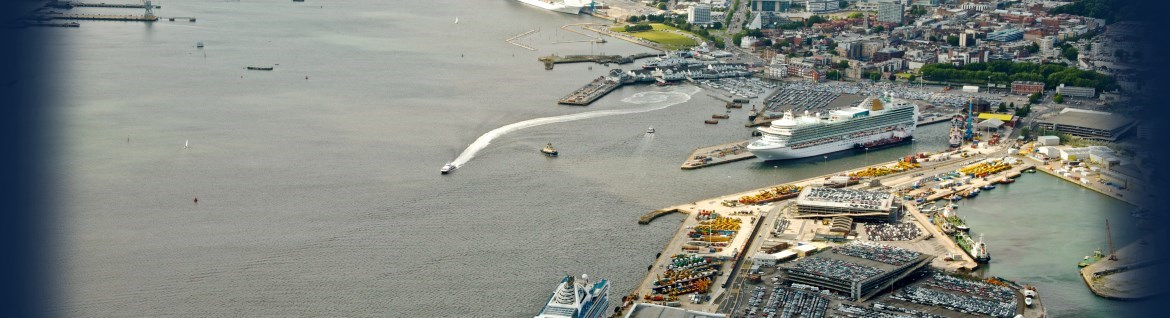
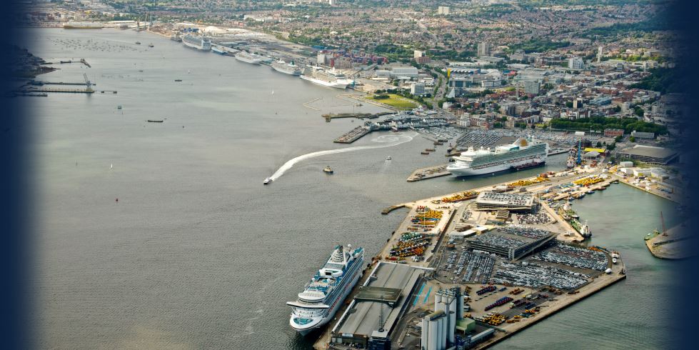
The Automatic Identification System (AIS) is a tracking system used by ships and vessel traffic services for identifying and locating vessels by electronically exchanging data with other nearby vessels, shore stations and satellites. As well as providing information such as vessel location, speed and direction, AIS is capable of handling environmental data, such as wind […]
Read more
OceanWise, a Cadcorp parter, will be providing a two day GIS course in early December focusing on Cadcorp SIS 8 and it’s new functionality. The course is aimed at those in the maritime sector who are new to GIS/Cadcorp and those who just need a refresher. Taking place in Alton, Hampshire from the 9th – […]
Read more
OceanWise, the UK’s leading independent marine data management, publishing and GIS specialists, hosted its annual Marine GIS Workshop in London on Tuesday 17th November. This year’s event considered ‘why data is important and why good data management is critical to the health of projects, programmes and your company bottom line’. For the second consecutive year […]
Read more
OceanWise, UK leaders in the provision of intelligent Marine and Coastal Mapping data, has developed a set of specialist tools and methodology to identify specific content from Raster Charts. By removing all content to the landward side of the coastline OceanWise has created a product which can be used seamlessly alongside terrestrial data and as […]
Read more
OceanWise has now developed Maritime Toolbar (MTB) for ArcMap so maritime users on an Esri platform can take advantage of the great functionality previously only available to Cadcorp SIS users. This new add-in extends the GIS functionality commonly used within the maritime sector to ArcMap 10.1 and above. The toolbar includes 31 tools that can […]
Read more