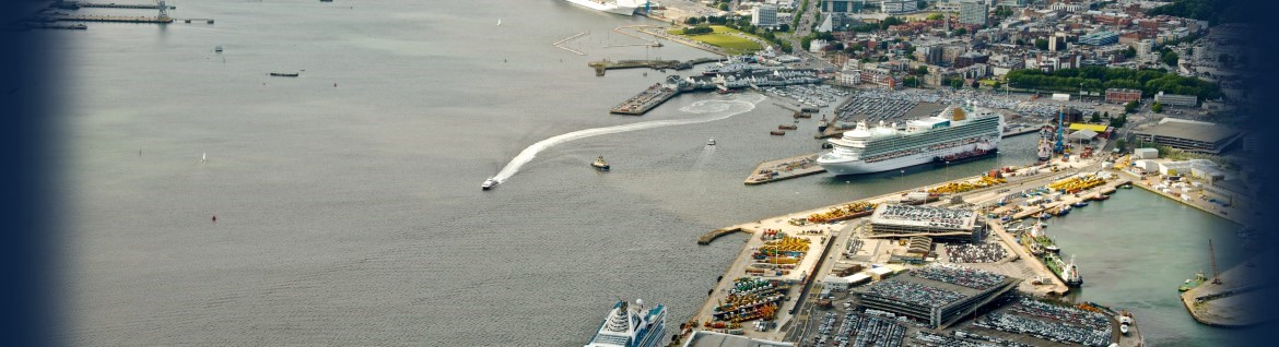
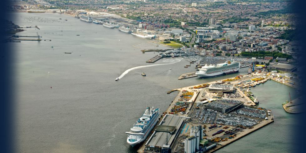
OceanWise News & Views
OceanWise recently attended the 12th Conference of the Southern Africa and Islands Hydrographic Commission (SAIHC), hosted by the United Kingdom Hydrographic Office (UKHO), at the Karibu Kunduchi Beach Hotel and Resort near Dar-es-Salaam, Tanzania. OceanWise hosted a Marine Data Management and Marine Spatial Data Infrastructure Workshop for those attendees from African States embarking on the […]
Read more
OceanWise, the leading UK supplier of Intelligent Marine and Coastal Mapping Data is pleased to announce the release of free, interactive, Marine Mapping product demonstrators available here. Built using OpenLayers, the demos allow the user to pan around a defined area and get a feel for our different data products. We currently have individual demos […]
Read more
DelNorte in conjunction with OceanWise has delivered a new online tidal level system to the Royal National Lifeboat Institution (RNLI) to assist its crews to safely launch its rescue craft from its new Lifeboat station at Portishead, Avon, UK. With a tidal range in excess of 12 metres in this part of the Bristol Channel, […]
Read more
On Thursday 18th June OceanWise provided it’s first “Marine Data Management Awareness” course, on behalf of IMarEST, at its London HQ in Aldgate House, London. The course was met with some really positive and useful feedback. Thankfully, at the end of the day for what to many is a dry subject, the window was not […]
Read more
The countdown is on: Ocean Business 2015 is opening its doors in one week and we will be there to see our valued customers both old and new. Come and say hello at Stand R5. Register Now
Read more
Independent marine data management and GIS specialists, OceanWise, and the United Kingdom Hydrographic Office (UKHO) hosted an Open Forum on Marine Spatial Data Infrastructure (MSDI) followed by the 6th International Hydrographic Organisation’s MSDI Working Group (IHO MSDIWG) meeting at the Holiday Inn Express Hotel, Terminal 5 near Heathrow Airport, London from 3rd-6th March. The theme […]
Read more
OceanWise Teams Up with IMarEST to Provide Data Management Training Courses OceanWise, the independent marine data management and GIS specialists, are pleased to announce an exciting collaboration with The Institute of Marine Engineering, Science and Technology (IMarEST) – the largest international professional body and learned society for marine professionals – to develop and deliver industry […]
Read more
OceanWise actively participated in both the 2nd Mexican Hydrographic Convention and 15th meeting of the Meso-American and Caribbean Hydrographic Commission (MACHC) of the International Hydrographic Organisation (IHO) hosted by the Mexican Navy Hydrographic Department at its Oceanographic Institute for the Pacific Region in Manzanillo, Colima, Mexico from 8-13 December 2014. OceanWise were invited to provide […]
Read more
Independent marine data management, publishing and GIS specialist, OceanWise held its Marine GIS Workshop in London on Tuesday 18th November at the School of Economic Science to great acclaim! The free-to-attend event, themed ‘the innovative use of GIS as a powerful toolset to achieve best practice’ was full to capacity with over 80 delegates registering. […]
Read more
OceanWise are pleased to welcome two new members of staff to its team. Richard Marlow has joined OceanWise as a Senior Information Systems Developer. Joining us from Fugro EMU, he will focus on further developing our GIS capabilities both internally and externally. Over time he will be extending our portfolio of Data Products to increase […]
Read more