OceanWise News & Views
The importance of hydrography and its role in an increasingly geospatially enabled world took centre stage at the 5th Extraordinary International Hydrographic Conference in Monaco recently. OceanWise’s Director, John Pepper (pictured), presented on the status and future of Marine SDI. The recognition by Hydrographic Offices that hydrographic data is ‘not just for charting’ was unanimous, […]
Read more
OceanWise is pleased to announce that it will again be hosting its annual Marine GIS Workshop on Tuesday November 18th 2014 at The School for Economic Science in Mandeville Place, London, W1U 3AJ. The workshop, which is FREE to attend, will include presentations and demonstrations of new and existing tools and techniques and how these […]
Read more
OceanWise is pleased to announce the appointment of GPS, Geofisica y Posicionamiento Satelital, C.A., as a distributor of its range of oceanographic software and services. The deal combines GPS instrumentation and equipment supplier capability with OceanWise’s data telemetry, storage and publishing software and services, as well as its expertise in system design and integration, data […]
Read more
We are pleased to announce the appointment of ChartWorld International to its growing network of Distributor and Value-Added Resellers (VAR’s) for its range of marine mapping products and data management and publishing software and services. The deal combines ChartWorld’s expertise as a VAR of digital electronic charts for marine applications including digital charts and publications […]
Read more
OceanWise Ltd has provided the Marine Department at Peel Ports (Clydeport) with specialist tools that takes processed hydrographic survey data and converts it into Electronic Navigational Charts (ENCs) suitable for use within Portable Pilot Units (PPUs). The production of the Bathymetry and Port ENCs, which are now being used operationally by Clydeport Pilots, is an […]
Read more
To accompany the above datasets, OceanWise has created Marine Themes DEM, a seabed digital elevation model (DEM) at 1 and 6 arc seconds utilising single and multi-beam hydrographic survey data from the UK Hydrographic Office and other agencies. Data derived from Electronic Navigational Charts (ENCs) is used to provide additional coverage. OceanWise Marine Themes DEM […]
Read more
The importance of the theoretical and practical aspects of hydrographic database design and management to support the development of marine, national and regional spatial data infrastructures (SDI) was again demonstrated by delegates attending the second in a series of capacity building courses, held 26-30 March 2012 in Colombo, Sri Lanka. The course was hosted by […]
Read more
OceanWise is pleased to announce two new on-line distributors for its digital marine mapping products – emapsite.com and findmaps.co.uk – in addition to its existing online distributor, Astrium’s GeoStore. Already well in advance of similar products, Marine Themes and Raster Charts represent exceptional value for money. Now, with the addition of these leading edge online […]
Read more
OceanWise and Valeport, are pleased to announce the successful implementation of a tide, wave and weather monitoring system at the Australian Marine Complex in Henderson, WA. The system uses a combination of Valeport and Gill Instruments equipment, with data telemetered to the Port-Log.net virtual server in Oxford, UK. The incoming data streams are decoded and […]
Read more
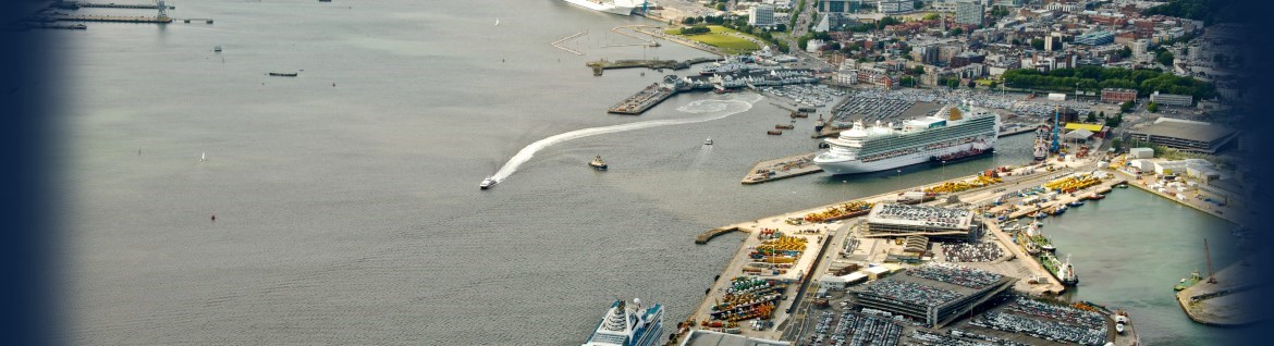
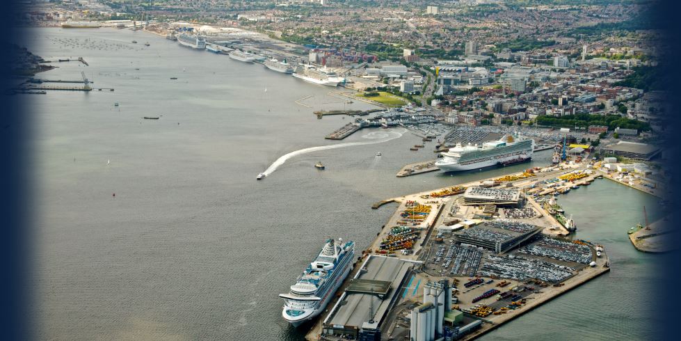
Subsea Asset Location Technologies Ltd (SALT) demonstrated its SonarBell« technology at ABP Southampton recently. The demonstrations were a complete success despite local sailors impeding the passage of the ABP survey vessel ‘Protector’ on the first day and fouling the SonarBell« mooring on the second. The day was organised by SALT Solutions Provider, OceanWise Ltd. Press […]
Read more