Author Archive

Successful Release of latest Port-Log updates
Our technical team continues to work diligently behind the scenes to strengthen and enhance the Port-Log platform. In addition to visible feature updates, we regularly implement system and infrastructure improvements to ensure our data platform Port-Log remains secure, stable, and consistently reliable. These ongoing enhancements include performance optimisation, communication improvements, security updates, and technical refinements […]
Read more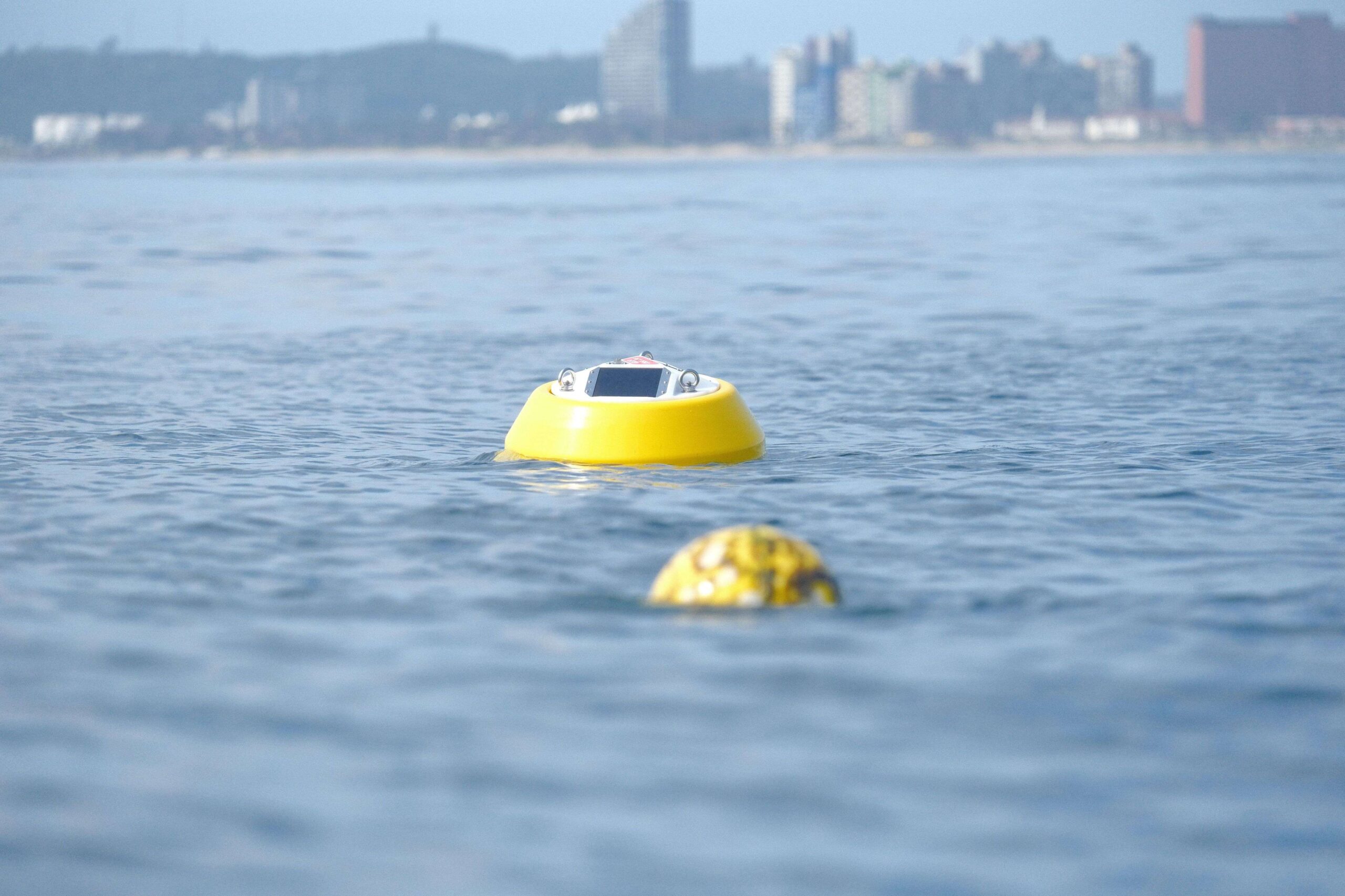
Obscape partnership strengthens customer offering
We’re really pleased to share that we are now an authorised UK distributor of Obscape equipment – an innovative provider of environmental monitoring solutions. At the heart of this partnership are our customers. What makes this especially valuable is the increased choice it offers. We understand that there is no such thing as a one-size-fits-all […]
Read more
Data Sovereignty and the Role of Weather Intelligence in Port Operations
Weather has always shaped port operations. Wind thresholds dictate crane activity, weather patterns affect tidal conditions influencing vessel movements, fog impacts pilotage, and rainfall affects land operations. What has changed is not the importance of weather—but the volume, velocity and criticality of data used to inform operational decisions. Ports today are increasingly data‑driven ecosystems. Decisions […]
Read more
Enhancing Water Quality Understanding at ABP Southampton
Growing interest in understanding water quality is leading many ports to explore new ways of monitoring conditions in and around their harbours. At Associated British Ports (ABP) Southampton, a new initiative will see six AquaTROLL 600 water‑quality sensors, supplied and installed by OceanWise, and deployed on navigational buoys to provide more detailed insight into turbidity and other key […]
Read more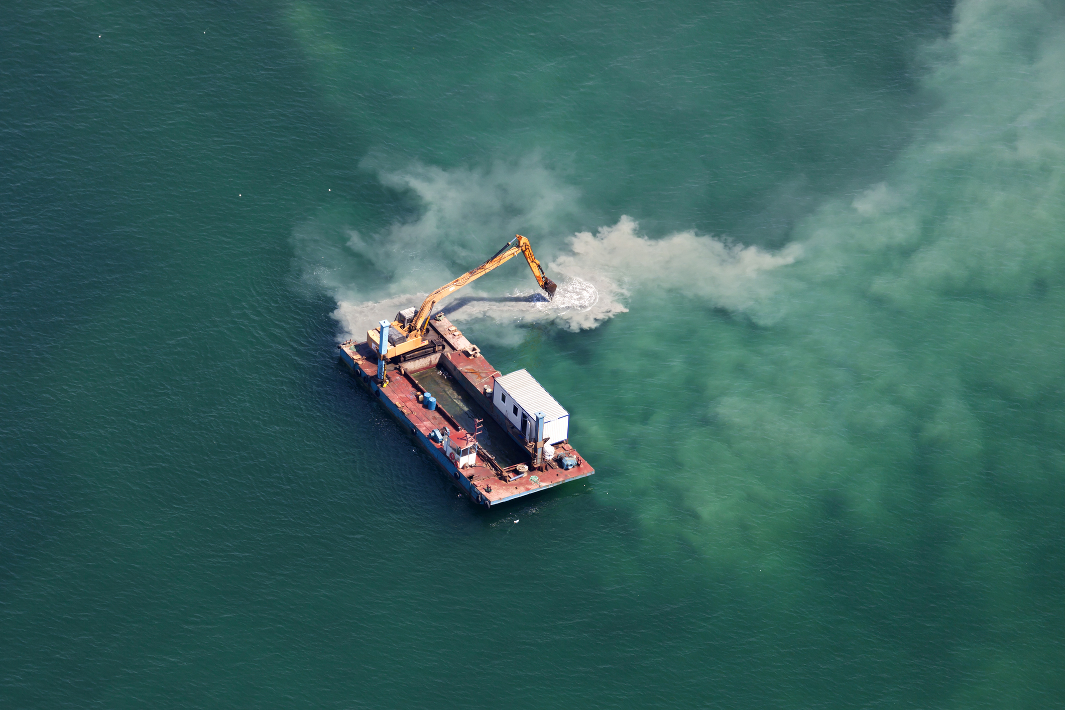
Our latest newsletter is out: ‘Going below the surface…’
Our latest newsletter is out now! In this issue we’re going below the surface, exploring water quality and turbidity — including a project currently underway with Associated British Ports, Southampton. You’ll also find: Our latest GIS in Ports interview with Paul Brooks from PD Ports An update on the recent revisions to the Port Marine […]
Read more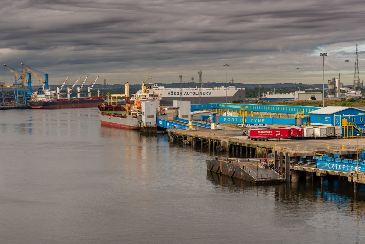
PMSC Updates: A Shift in the Role of Environmental Monitoring
Recent revisions to the Port Marine Safety Code (PMSC) mark an important step in how environmental monitoring is positioned within safe marine operations. While environmental data has long been a component of harbour management, the updated guidance places greater emphasis on how that data is used in practice — moving from passive collection towards active […]
Read more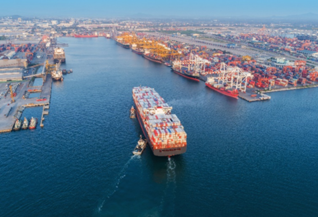
GIS in Ports series – An Interview with PD Ports
Our Geographic Information Systems (GIS) in Ports series is back! Ports are increasingly expected to manage large volumes of environmental and operational data. GIS is becoming a key tool for bringing that information together — supporting everything from environmental monitoring to planning and safety. In this latest interview in our GIS Series we talk to […]
Read more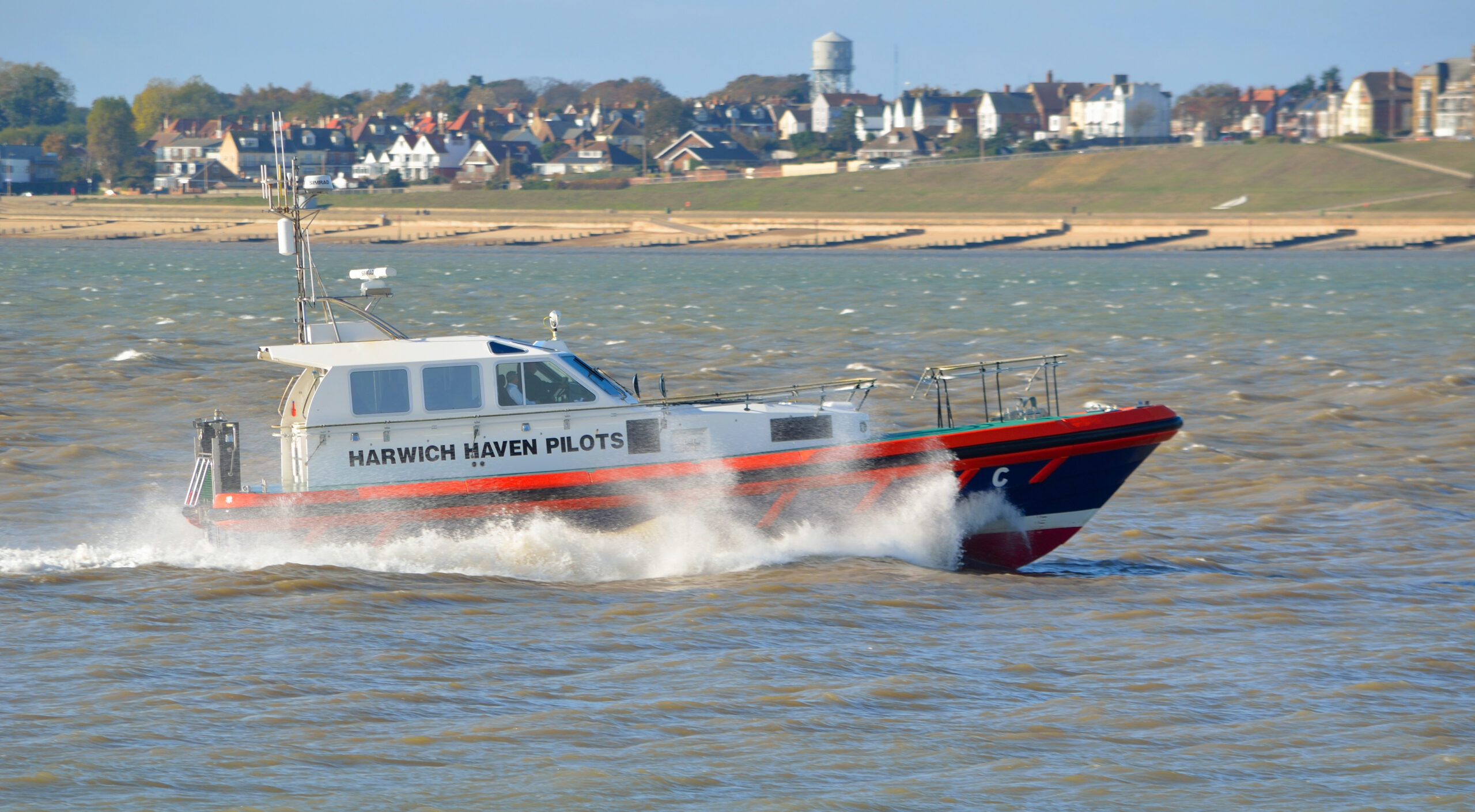
Smarter Pilot Boarding for Harwich Haven Authority
Download the Case StudyMaking safe, confident decisions at sea starts with having the right information at the right time. For the teams working at Harwich Haven Authority, a new wave monitoring solution is transforming how pilots, launch crews and Vessel Traffic Service (VTS) operators plan and manage pilot boarding operations. Working in partnership with Harwich […]
Read more
From ambition to action–Coastal Futures 2026
Photo: Ocean and Coastal Futures (OCF) Coastal Futures Conference London, 2026 A personal review by Fran Light The theme of this year’s Coastal Futures Conference in London, “From Ambition to Action,” set the tone immediately. The sector has done the thinking, the planning, and the talking — now it’s time to turn commitments into measurable action. During the conference, […]
Read more
Global Insight, Local Impact: Marine data in practice
The latest version of our quarterly newsletter is out now! In this issue delve into: Enhancing Pilot Safety with real-time wave data How GNSS Levelling improves tide-gauge accuracy How to unlock the power of Port-Log A review of EMODnet 2025 conference …and more! Read all these articles and find our previous newsletters here
Read more